Datasets

Kenya 5-Metre Contours

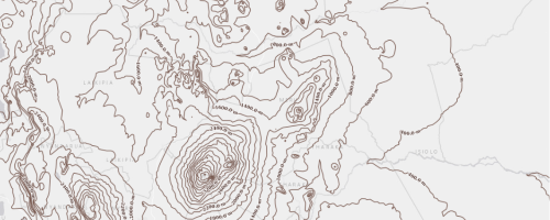
Elevation contour lines covering Kenya at a vertical interval of five metres. The elevation of each contour is stored in the numeric contour attribute and expressed in metres above mean sea level. The layer uses scale-dependent styling to display major contour intervals at national and regional scales and progressively finer intervals, including the complete five-metre contours, at detailed local scales.

Kenya 10-Metre Contours

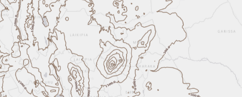
A national contour dataset for Kenya representing terrain elevation at 10-metre vertical intervals. Each contour line connects locations of equal elevation above mean sea level, with the elevation value stored in the numeric contour attribute. The layer uses scale-dependent rendering to reduce map congestion and improve performance. Broader map views display only major contour intervals, such as 500 m, 200 m, 100 m and 50 m, while detailed views display 20 m and the full 10 m contour interval.

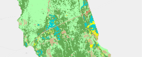
Solution Scape 2 Land Cover July 2025

This dataset presents the land cover classification for the Solution Scape 2 area as of July 2025. The classification was undertaken using Sentinel-2 satellite imagery, which provided multispectral data suitable for identifying and distinguishing major land cover classes within the project area. Image processing and classification techniques were applied to generate a raster-based land cover map representing the conditions observed during the period.For improved usability in GIS analysis, mapping, and spatial statistics, the classified raster output was subsequently converted into polygon features. This conversion enabled easier visualization, querying, area calculation, and integration with other vector-based spatial datasets. The dataset is therefore suitable for land cover assessment, planning, monitoring, and change detection studies within the Solution Scape 2 landscape.
Solution Scape 2 Land Cover July 2024

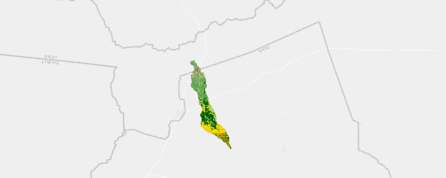
This dataset presents the land cover classification for the Solution Scape 2 area as of July 2024. The classification was undertaken using Sentinel-2 satellite imagery, which provided multispectral data suitable for identifying and distinguishing major land cover classes within the project area. Image processing and classification techniques were applied to generate a raster-based land cover map representing the conditions observed during the period.For improved usability in GIS analysis, mapping, and spatial statistics, the classified raster output was subsequently converted into polygon features. This conversion enabled easier visualization, querying, area calculation, and integration with other vector-based spatial datasets. The dataset is therefore suitable for land cover assessment, planning, monitoring, and change detection studies within the Solution Scape 2 landscape.
Solution Scape 2 Land Cover July 2023

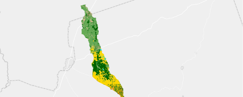
This dataset presents the land cover classification for the Solution Scape 2 area as of July 2023. The classification was undertaken using Sentinel-2 satellite imagery, which provided multispectral data suitable for identifying and distinguishing major land cover classes within the project area. Image processing and classification techniques were applied to generate a raster-based land cover map representing the conditions observed during the period.For improved usability in GIS analysis, mapping, and spatial statistics, the classified raster output was subsequently converted into polygon features. This conversion enabled easier visualization, querying, area calculation, and integration with other vector-based spatial datasets. The dataset is therefore suitable for land cover assessment, planning, monitoring, and change detection studies within the Solution Scape 2 landscape.
Solution Scape 2 Land Cover July 2022

This dataset presents the land cover classification for the Solution Scape 2 area as of July 2022. The classification was undertaken using Sentinel-2 satellite imagery, which provided multispectral data suitable for identifying and distinguishing major land cover classes within the project area. Image processing and classification techniques were applied to generate a raster-based land cover map representing the conditions observed during the period.For improved usability in GIS analysis, mapping, and spatial statistics, the classified raster output was subsequently converted into polygon features. This conversion enabled easier visualization, querying, area calculation, and integration with other vector-based spatial datasets. The dataset is therefore suitable for land cover assessment, planning, monitoring, and change detection studies within the Solution Scape 2 landscape.
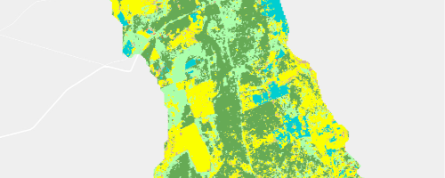
Solution Scape 2 Land Cover July 2021

This dataset presents the land cover classification for the Solution Scape 2 area as of July 2021. The classification was undertaken using Sentinel-2 satellite imagery, which provided multispectral data suitable for identifying and distinguishing major land cover classes within the project area. Image processing and classification techniques were applied to generate a raster-based land cover map representing the conditions observed during the period.For improved usability in GIS analysis, mapping, and spatial statistics, the classified raster output was subsequently converted into polygon features. This conversion enabled easier visualization, querying, area calculation, and integration with other vector-based spatial datasets. The dataset is therefore suitable for land cover assessment, planning, monitoring, and change detection studies within the Solution Scape 2 landscape.
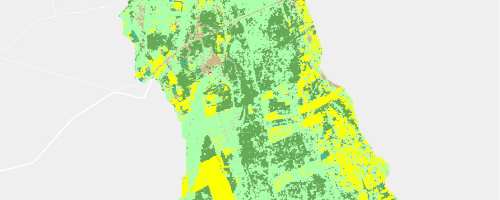
Solution Scape 2 Land Cover July 2019

This dataset presents the land cover classification for the Solution Scape 2 area as of July 2019. The classification was undertaken using Sentinel-2 satellite imagery, which provided multispectral data suitable for identifying and distinguishing major land cover classes within the project area. Image processing and classification techniques were applied to generate a raster-based land cover map representing the conditions observed during the period.For improved usability in GIS analysis, mapping, and spatial statistics, the classified raster output was subsequently converted into polygon features. This conversion enabled easier visualization, querying, area calculation, and integration with other vector-based spatial datasets. The dataset is therefore suitable for land cover assessment, planning, monitoring, and change detection studies within the Solution Scape 2 landscape.
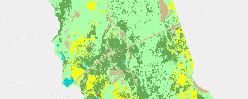
Solution Scape 2 Land Cover July 2020

This dataset presents the land cover classification for the Solution Scape 2 area as of July 2020. The classification was undertaken using Sentinel-2 satellite imagery, which provided multispectral data suitable for identifying and distinguishing major land cover classes within the project area. Image processing and classification techniques were applied to generate a raster-based land cover map representing the conditions observed during the period. For improved usability in GIS analysis, mapping, and spatial statistics, the classified raster output was subsequently converted into polygon features. This conversion enabled easier visualization, querying, area calculation, and integration with other vector-based spatial datasets. The dataset is therefore suitable for land cover assessment, planning, monitoring, and change detection studies within the Solution Scape 2 landscape.
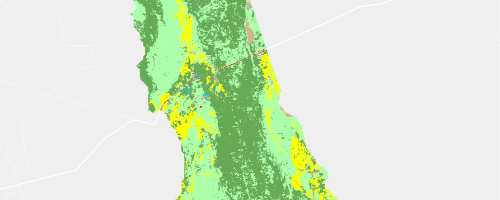
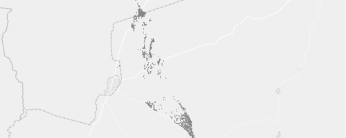
Solution Scape 2 Buildings

This data has been digitized from satellite imagery in 2025 and 2026

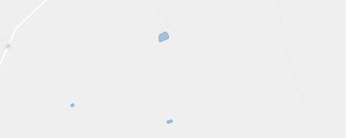
Solution Scape 2 Water Pans

This data has been digitized from satellite imagery in 2025 and 2026

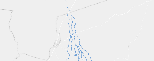
Solution Scape 2 Rivers

This data has been digitized from satellite imagery in 2025 and 2026